
Thank you for supporting this site ❤️
Make a donation
Make a donation
El Calabozo topographic map
Click on the map to display elevation.
Thank you for supporting this site ❤️
Make a donation
Make a donation
About this map
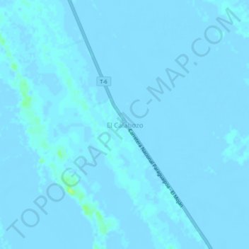
Name: El Calabozo topographic map, elevation, terrain.
Location: El Calabozo, Municipio La Guajira, Estado Zulia, Venezuela (11.09588 -71.89039 11.13588 -71.85039)
Average elevation: 0 m
Minimum elevation: -4 m
Maximum elevation: 12 m
Thank you for supporting this site ❤️
Make a donation
Make a donation