
Nganjuk topographic map
Interactive map
Click on the map to display elevation.
About this map
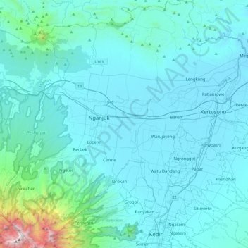
Name: Nganjuk topographic map, elevation, terrain.
Location: Nganjuk, Ost-Java, Indonesien (-7.83657 111.72543 -7.39372 112.16965)
Average elevation: 220 m
Minimum elevation: 34 m
Maximum elevation: 2,521 m