
Berrugas topographic map
Interactive map
Click on the map to display elevation.
About this map
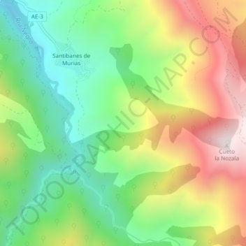
Name: Berrugas topographic map, elevation, terrain.
Location: Berrugas, Aller, Asturias, España (43.09701 -5.65744 43.11701 -5.63744)
Average elevation: 943 m
Minimum elevation: 609 m
Maximum elevation: 1,411 m
Other topographic maps
Click on a map to view its topography, its elevation and its terrain.
Braña Melende
Braña Melende, Aller, Asturias, 33681, España
Average elevation: 1,214 m