
Chengalpattu topographic map
Interactive map
Click on the map to display elevation.
About this map
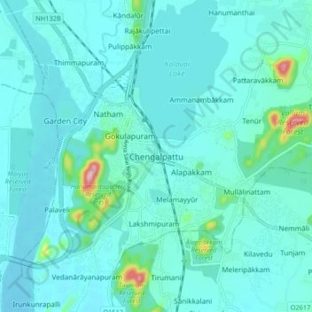
Name: Chengalpattu topographic map, elevation, terrain.
Location: Chengalpattu, Kanchipuram district, Tamil Nadu, 603001, Inde (12.64409 79.94364 12.72409 80.02364)
Average elevation: 48 m
Minimum elevation: 25 m
Maximum elevation: 219 m