
Thank you for supporting this site ❤️
Make a donation
Make a donation
Effingham topographic map
Click on the map to display elevation.
Thank you for supporting this site ❤️
Make a donation
Make a donation
About this map
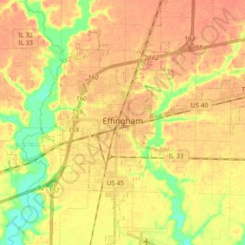
Name: Effingham topographic map, elevation, terrain.
Location: Effingham, Effingham County, Illinois, 62401, United States (39.06890 -88.60389 39.16991 -88.50455)
Average elevation: 178 m
Minimum elevation: 152 m
Maximum elevation: 191 m
Thank you for supporting this site ❤️
Make a donation
Make a donation
Other topographic maps
Click on a map to view its topography, its elevation and its terrain.