
Thank you for supporting this site ❤️
Make a donation
Make a donation
Independence topographic map
Click on the map to display elevation.
Thank you for supporting this site ❤️
Make a donation
Make a donation
About this map
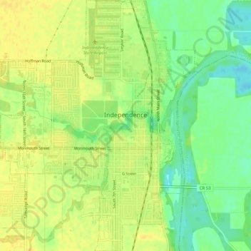
Name: Independence topographic map, elevation, terrain.
Location: Independence, Polk County, Oregon, 97351, United States (44.83640 -123.21662 44.87244 -123.17643)
Average elevation: 50 m
Minimum elevation: 35 m
Maximum elevation: 58 m
Thank you for supporting this site ❤️
Make a donation
Make a donation
Other topographic maps
Click on a map to view its topography, its elevation and its terrain.