
Lac aux Iroquois topographic map
Interactive map
Click on the map to display elevation.
About this map
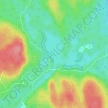
Name: Lac aux Iroquois topographic map, elevation, terrain.
Average elevation: 395 m
Minimum elevation: 357 m
Maximum elevation: 457 m
Other topographic maps
Click on a map to view its topography, its elevation and its terrain.
Lac Jeannine
Canada > Québec > Le Domaine-du-Roy > Sainte-Hedwidge
Lac Jeannine, Sainte-Hedwidge, Le Domaine-du-Roy, Saguenay–Lac-Saint-Jean, Québec, Canada
Average elevation: 391 m