
Norden topographic map
Interactive map
Click on the map to display elevation.
About this map
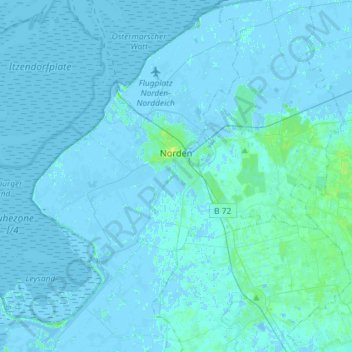
Name: Norden topographic map, elevation, terrain.
Location: Norden, Landkreis Aurich, Nedersaksen, 26506, Duitsland (53.49681 7.08696 53.66897 7.27620)
Average elevation: 1 m
Minimum elevation: -5 m
Maximum elevation: 9 m
Other topographic maps
Click on a map to view its topography, its elevation and its terrain.
Norderney
Duitsland > Nedersaksen > Landkreis Aurich > Norderney
Norderney, Landkreis Aurich, Nedersaksen, 26548, Duitsland
Average elevation: 0 m