
Lions Park topographic map
Interactive map
Click on the map to display elevation.
About this map
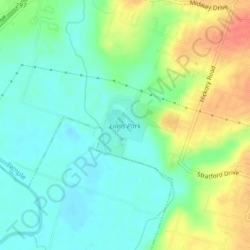
Name: Lions Park topographic map, elevation, terrain.
Location: Lions Park, Temple, Bell County, Texas, United States (31.05969 -97.40754 31.06655 -97.39707)
Average elevation: 161 m
Minimum elevation: 142 m
Maximum elevation: 192 m