
Axamer Lizum topographic map
Interactive map
Click on the map to display elevation.
About this map
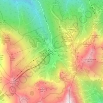
Name: Axamer Lizum topographic map, elevation, terrain.
Location: Axamer Lizum, Axams, Bezirk Innsbruck-Land, 6092, Österreich (47.17438 11.28302 47.21438 11.32302)
Average elevation: 1,858 m
Minimum elevation: 1,213 m
Maximum elevation: 2,513 m
Die Streusiedlung auf rund 1550 m ü. A. Höhe umfasst die etwa 25 Gebäude des Schigebiets, einschließlich des Hotel Olympia, der Lizumalm, und der nördlich erhöht liegenden Schafalm.