
Thank you for supporting this site ❤️
Make a donation
Make a donation
Hells Gate topographic map
Click on the map to display elevation.
Thank you for supporting this site ❤️
Make a donation
Make a donation
About this map
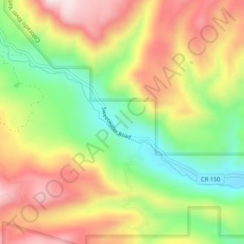
Name: Hells Gate topographic map, elevation, terrain.
Location: Hells Gate, Eagle County, Colorado, United States (39.73799 -107.07899 39.73809 -107.07889)
Average elevation: 2,174 m
Minimum elevation: 1,973 m
Maximum elevation: 2,378 m
Thank you for supporting this site ❤️
Make a donation
Make a donation
Other topographic maps
Click on a map to view its topography, its elevation and its terrain.