
Piancereto topographic map
Click on the map to display elevation.
About this map
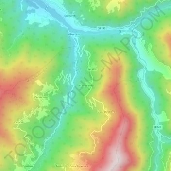
Name: Piancereto topographic map, elevation, terrain.
Location: Piancereto, Cabella Ligure, Alessandria, Piemonte, Italia (44.62805 9.09725 44.66805 9.13725)
Average elevation: 769 m
Minimum elevation: 482 m
Maximum elevation: 1,224 m