
Monaville topographic map
Interactive map
Click on the map to display elevation.
About this map
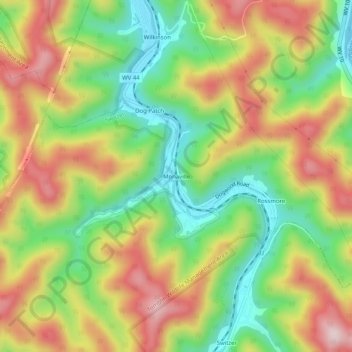
Name: Monaville topographic map, elevation, terrain.
Average elevation: 377 m
Minimum elevation: 200 m
Maximum elevation: 577 m
Other topographic maps
Click on a map to view its topography, its elevation and its terrain.
Becco
États-Unis d'Amérique > Virginie-Occidentale > Logan County
Becco, Logan County, Virginie-Occidentale, 25207, États-Unis d'Amérique
Average elevation: 481 m