
Sanganpur topographic map
Click on the map to display elevation.
About this map
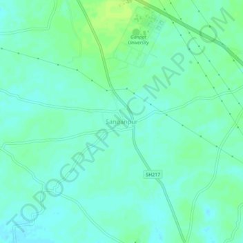
Name: Sanganpur topographic map, elevation, terrain.
Location: Sanganpur, Mahesana Taluka, Mahesana, Gujarat, 382710, India (23.49162 72.43257 23.53162 72.47257)
Average elevation: 98 m
Minimum elevation: 93 m
Maximum elevation: 105 m