
Thank you for supporting this site ❤️
Make a donation
Make a donation
Hemis Shukpachan topographic map
Click on the map to display elevation.
Thank you for supporting this site ❤️
Make a donation
Make a donation
About this map
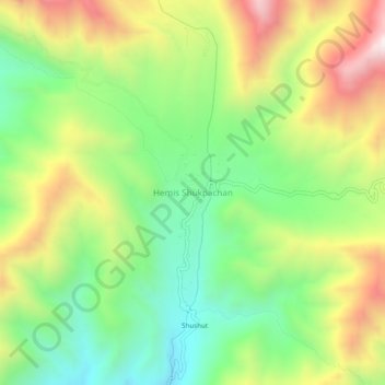
Name: Hemis Shukpachan topographic map, elevation, terrain.
Location: Hemis Shukpachan, Khalsi tehsil, Leh District, Ladakh, India (34.29591 77.05741 34.33591 77.09741)
Average elevation: 3,818 m
Minimum elevation: 3,437 m
Maximum elevation: 4,361 m
Thank you for supporting this site ❤️
Make a donation
Make a donation