
Thank you for supporting this site ❤️
Make a donation
Make a donation
Irina topographic map
Click on the map to display elevation.
Thank you for supporting this site ❤️
Make a donation
Make a donation
About this map
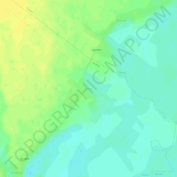
Name: Irina topographic map, elevation, terrain.
Location: Irina, Andrid, Satu Mare, 447012, Romania (47.53334 22.38342 47.57334 22.42342)
Average elevation: 118 m
Minimum elevation: 109 m
Maximum elevation: 128 m
Thank you for supporting this site ❤️
Make a donation
Make a donation
Other topographic maps
Click on a map to view its topography, its elevation and its terrain.