
Thank you for supporting this site ❤️
Make a donation
Make a donation
Spruce View topographic map
Click on the map to display elevation.
Thank you for supporting this site ❤️
Make a donation
Make a donation
About this map
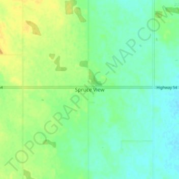
Name: Spruce View topographic map, elevation, terrain.
Location: Spruce View, Division No. 8, Alberta, T0M 1V0, Canada (52.06572 -114.33060 52.10572 -114.29060)
Average elevation: 954 m
Minimum elevation: 944 m
Maximum elevation: 968 m
Thank you for supporting this site ❤️
Make a donation
Make a donation
Other topographic maps
Click on a map to view its topography, its elevation and its terrain.