
Make a donation
Prachuap Khiri Khan topographic map
Click on the map to display elevation.
Make a donation
Prachuap Khiri Khan
Prachuap Khiri Khan covers an area totaling 6,367 square kilometers (2,458 sq mi). The province is on the Kra Isthmus, the narrow land bridge connecting the Malay Peninsula with mainland Asia. The province has one of the narrowest parts of Thailand, just 12.38 km (7.69 mi) from the Gulf of Thailand to the border with Myanmar in the Tenasserim Hills. Geographically, Prachuap Khiri Khan is a moderate plain with elevations varying from sea level to 1,200 m (3,900 ft). The maximum elevations are found in the northeastern and central west regions, which make up approximately 30 percent of the province. The total forest area is 2,485 km2 (959 sq mi) or 38.7 percent of provincial area.
Make a donation
About this map
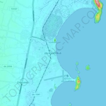
Name: Prachuap Khiri Khan topographic map, elevation, terrain.
Average elevation: 9 m
Minimum elevation: 0 m
Maximum elevation: 235 m
Make a donation