
Berto topographic map
Interactive map
Click on the map to display elevation.
About this map
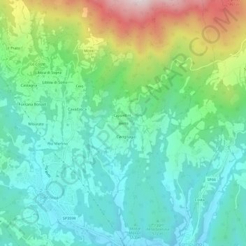
Name: Berto topographic map, elevation, terrain.
Location: Berto, PR, EMR, 43053, Itália (44.49568 9.62683 44.53568 9.66683)
Average elevation: 661 m
Minimum elevation: 466 m
Maximum elevation: 1,165 m