
Thank you for supporting this site ❤️
Make a donation
Make a donation
Saint Catherine Mountain topographic map
Click on the map to display elevation.
Thank you for supporting this site ❤️
Make a donation
Make a donation
About this map
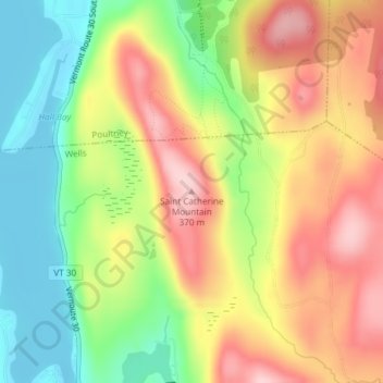
Name: Saint Catherine Mountain topographic map, elevation, terrain.
Average elevation: 251 m
Minimum elevation: 145 m
Maximum elevation: 361 m
Thank you for supporting this site ❤️
Make a donation
Make a donation
Other topographic maps
Click on a map to view its topography, its elevation and its terrain.
North Pawlet Hills Natural Area
United States > Vermont > Rutland County > Wells
Average elevation: 332 m