
Buli topographic map
Interactive map
Click on the map to display elevation.
About this map
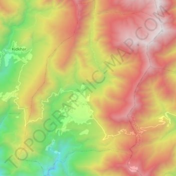
Name: Buli topographic map, elevation, terrain.
Location: Buli, Nangkor Gewog, Zhemgang District, 00975, Bhutan (27.11509 90.76285 27.24751 90.88509)
Average elevation: 2,136 m
Minimum elevation: 715 m
Maximum elevation: 3,567 m