
Thank you for supporting this site ❤️
Make a donation
Make a donation
Omurbaba Dağı topographic map
Click on the map to display elevation.
Thank you for supporting this site ❤️
Make a donation
Make a donation
About this map
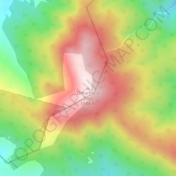
Name: Omurbaba Dağı topographic map, elevation, terrain.
Location: Omurbaba Dağı, Kula, Manisa, Aegean Region, Turkey (38.42812 28.81092 38.42822 28.81102)
Average elevation: 1,268 m
Minimum elevation: 987 m
Maximum elevation: 1,551 m
Thank you for supporting this site ❤️
Make a donation
Make a donation