
Botong Island topographic map
Interactive map
Click on the map to display elevation.
About this map
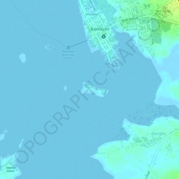
Name: Botong Island topographic map, elevation, terrain.
Location: Botong Island, Suba, Cebu, Central Visayas, Philippines (11.15731 123.71602 11.15962 123.72031)
Average elevation: 2 m
Minimum elevation: -2 m
Maximum elevation: 17 m