
Thank you for supporting this site ❤️
Make a donation
Make a donation
Namatanai topographic map
Click on the map to display elevation.
Thank you for supporting this site ❤️
Make a donation
Make a donation
About this map
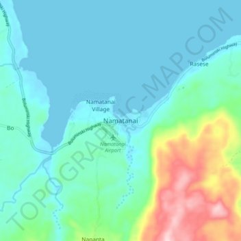
Name: Namatanai topographic map, elevation, terrain.
Location: Namatanai, New Ireland, Islands Region, Papua New Guinea (-3.70417 152.40073 -3.62417 152.48073)
Average elevation: 60 m
Minimum elevation: -1 m
Maximum elevation: 303 m
Thank you for supporting this site ❤️
Make a donation
Make a donation