
Thank you for supporting this site ❤️
Make a donation
Make a donation
Holler topographic map
Click on the map to display elevation.
Thank you for supporting this site ❤️
Make a donation
Make a donation
About this map
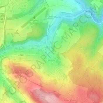
Name: Holler topographic map, elevation, terrain.
Location: Holler, Montabaur, Westerwaldkreis, Rijnland-Palts, Duitsland (50.40234 7.81321 50.42535 7.85740)
Average elevation: 280 m
Minimum elevation: 196 m
Maximum elevation: 376 m
Thank you for supporting this site ❤️
Make a donation
Make a donation