
Inquilpata topographic map
Click on the map to display elevation.
About this map
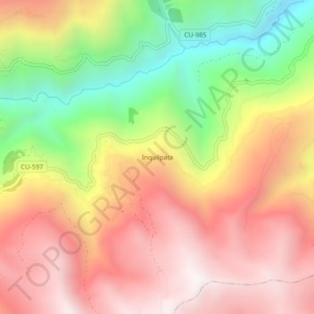
Name: Inquilpata topographic map, elevation, terrain.
Location: Inquilpata, Challabamba, Paucartambo, Cusco, Perú (-13.26626 -71.70201 -13.22626 -71.66201)
Average elevation: 3,536 m
Minimum elevation: 2,851 m
Maximum elevation: 4,079 m
Other topographic maps
Click on a map to view its topography, its elevation and its terrain.