
Ludington topographic map
Interactive map
Click on the map to display elevation.
About this map
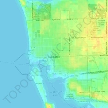
Name: Ludington topographic map, elevation, terrain.
Location: Ludington, Mason County, Michigan, États-Unis d'Amérique (43.93532 -86.46299 43.97788 -86.41566)
Average elevation: 182 m
Minimum elevation: 175 m
Maximum elevation: 201 m