Bonnechere Valley topographic map
Interactive map
Click on the map to display elevation.
About this map
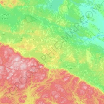
Name: Bonnechere Valley topographic map, elevation, terrain.
Average elevation: 260 m
Minimum elevation: 115 m
Maximum elevation: 519 m

Click on the map to display elevation.
Name: Bonnechere Valley topographic map, elevation, terrain.
Average elevation: 260 m
Minimum elevation: 115 m
Maximum elevation: 519 m