
Thank you for supporting this site ❤️
Make a donation
Make a donation
Goheung-eup topographic map
Click on the map to display elevation.
Thank you for supporting this site ❤️
Make a donation
Make a donation
About this map
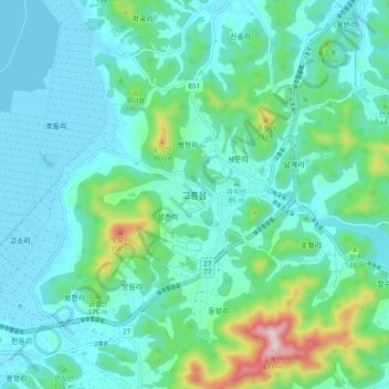
Name: Goheung-eup topographic map, elevation, terrain.
Location: Goheung-eup, Goheung-gun, South Jeolla, 59542, South Korea (34.56741 127.23048 34.64741 127.31048)
Average elevation: 81 m
Minimum elevation: -2 m
Maximum elevation: 442 m
Thank you for supporting this site ❤️
Make a donation
Make a donation