
Tordoia topographic map
Interactive map
Click on the map to display elevation.
About this map
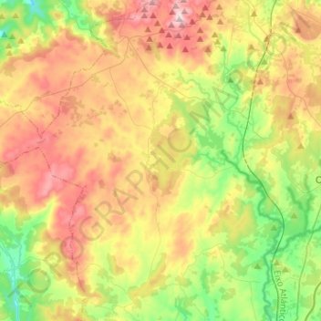
Name: Tordoia topographic map, elevation, terrain.
Location: Tordoia, Comarca de Órdenes, La Coruña, Galicia, 15683, España (43.02088 -8.69742 43.15361 -8.44422)
Average elevation: 351 m
Minimum elevation: 165 m
Maximum elevation: 591 m