
Griesheim topographic map
Click on the map to display elevation.
About this map
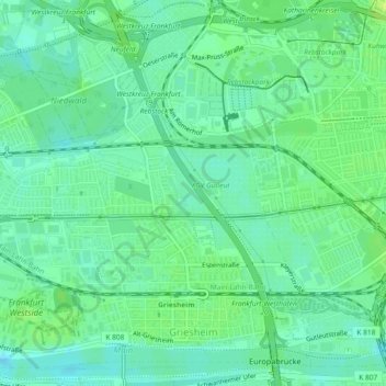
Name: Griesheim topographic map, elevation, terrain.
Location: Griesheim, West, Frankfurt, Hesse, 65933, Germany (50.08868 8.57587 50.11612 8.62191)
Average elevation: 98 m
Minimum elevation: 91 m
Maximum elevation: 106 m
Other topographic maps
Click on a map to view its topography, its elevation and its terrain.