
Great Holland topographic map
Interactive map
Click on the map to display elevation.
About this map
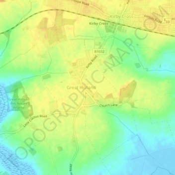
Name: Great Holland topographic map, elevation, terrain.
Location: Great Holland, Essex, East of England, England, United Kingdom (51.82377 1.19325 51.83806 1.21962)
Average elevation: 16 m
Minimum elevation: -4 m
Maximum elevation: 27 m