
Frontera topographic map
Interactive map
Click on the map to display elevation.
About this map
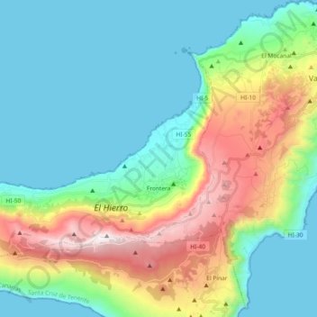
Name: Frontera topographic map, elevation, terrain.
Location: Frontera, Santa Cruz de Tenerife, Kanarische Inseln, Spanien (27.71174 -18.16087 27.82515 -17.97858)
Average elevation: 408 m
Minimum elevation: 0 m
Maximum elevation: 1,497 m