
Thank you for supporting this site ❤️
Make a donation
Make a donation
Voorstonden topographic map
Click on the map to display elevation.
Thank you for supporting this site ❤️
Make a donation
Make a donation
About this map
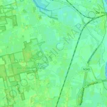
Name: Voorstonden topographic map, elevation, terrain.
Location: Voorstonden, Brummen, Gelderland, Nederland, 6971 KP, Nederland (52.10797 6.13297 52.14797 6.17297)
Average elevation: 8 m
Minimum elevation: 3 m
Maximum elevation: 12 m
Thank you for supporting this site ❤️
Make a donation
Make a donation