
Thank you for supporting this site ❤️
Make a donation
Make a donation
Parkman Township topographic map
Click on the map to display elevation.
Thank you for supporting this site ❤️
Make a donation
Make a donation
About this map
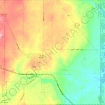
Name: Parkman Township topographic map, elevation, terrain.
Location: Parkman Township, Geauga County, Ohio, 44491, United States (41.34744 -81.09945 41.42602 -81.00315)
Average elevation: 335 m
Minimum elevation: 258 m
Maximum elevation: 424 m
Thank you for supporting this site ❤️
Make a donation
Make a donation
Other topographic maps
Click on a map to view its topography, its elevation and its terrain.