
Thank you for supporting this site ❤️
Make a donation
Make a donation
Nansolobya topographic map
Click on the map to display elevation.
Thank you for supporting this site ❤️
Make a donation
Make a donation
About this map
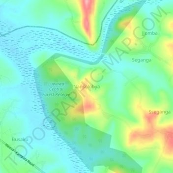
Name: Nansolobya topographic map, elevation, terrain.
Location: Nansolobya, Wakiso, Central Region, Uganda (0.50715 32.28390 0.54715 32.32390)
Average elevation: 1,129 m
Minimum elevation: 1,095 m
Maximum elevation: 1,217 m
Thank you for supporting this site ❤️
Make a donation
Make a donation