
Thank you for supporting this site ❤️
Make a donation
Make a donation
Arobes topographic map
Click on the map to display elevation.
Thank you for supporting this site ❤️
Make a donation
Make a donation
About this map
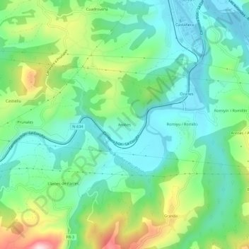
Name: Arobes topographic map, elevation, terrain.
Location: Arobes, Arriondas, Parres, Asturias, 33540, España (43.34476 -5.21768 43.38476 -5.17768)
Average elevation: 129 m
Minimum elevation: 26 m
Maximum elevation: 372 m
Thank you for supporting this site ❤️
Make a donation
Make a donation