
Thank you for supporting this site ❤️
Make a donation
Make a donation
Biggar topographic map
Click on the map to display elevation.
Thank you for supporting this site ❤️
Make a donation
Make a donation
About this map
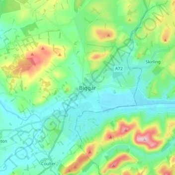
Name: Biggar topographic map, elevation, terrain.
Location: Biggar, South Lanarkshire, Scotland, ML12 6AE, United Kingdom (55.58449 -3.56158 55.66449 -3.48158)
Average elevation: 254 m
Minimum elevation: 193 m
Maximum elevation: 431 m
Thank you for supporting this site ❤️
Make a donation
Make a donation