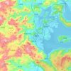
Sanming City topographic map
Click on the map to display elevation.
Sanming City
Sanming is well known by its beautiful nature landscape with different landforms, including unique Danxia Landform and abundant Karst topography. The most famous spots include global geopark Taining Golden Lake in Taining County, Yuhua Cave in Jiangle County and Goose Cave in Ninghua County.
About this map
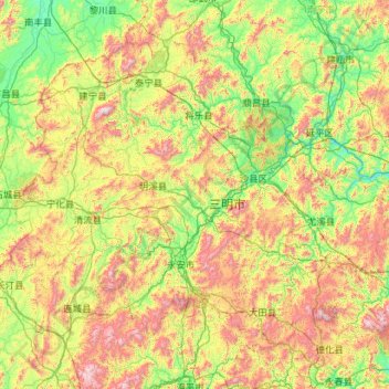
Name: Sanming City topographic map, elevation, terrain.
Location: Sanming City, Fujian, China (25.48138 116.38013 27.13216 118.66646)
Average elevation: 518 m
Minimum elevation: 56 m
Maximum elevation: 1,793 m
Other topographic maps
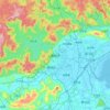
Click on a map to view its topography, its elevation and its terrain.







Sansha
China > Fujian > Xiapu County
The land around Sansha is mostly hilly, but to the south it is flat. To the southeast, the sea is closest to Sansha. The highest point in the vicinity has an elevation of 516 meters and is 2.3 km northwest of Sansha. Sansha is the largest town in the area. In the region around Sansha, islands are unusually…
Average elevation: 79 m