
Agoo topographic map
Click on the map to display elevation.
About this map
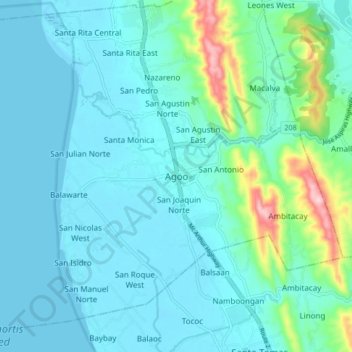
Name: Agoo topographic map, elevation, terrain.
Location: Agoo, La Union, Ilocos Region, 2504, Philippines (16.28240 120.32700 16.36240 120.40700)
Average elevation: 38 m
Minimum elevation: 0 m
Maximum elevation: 248 m
Other topographic maps
Click on a map to view its topography, its elevation and its terrain.