
Het Hogeland topographic map
Interactive map
Click on the map to display elevation.
About this map
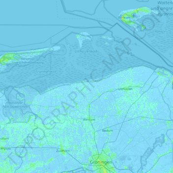
Name: Het Hogeland topographic map, elevation, terrain.
Location: Het Hogeland, Groningen, Netherlands (53.24945 6.16743 53.57642 6.91179)
Average elevation: 0 m
Minimum elevation: -7 m
Maximum elevation: 18 m