
Ancoara topographic map
Click on the map to display elevation.
About this map
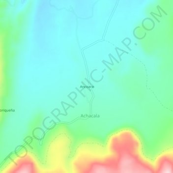
Name: Ancoara topographic map, elevation, terrain.
Location: Ancoara, Achacala, Carumas, Mariscal Nieto, Moquegua, Perú (-16.73610 -70.37059 -16.69610 -70.33059)
Average elevation: 4,456 m
Minimum elevation: 4,388 m
Maximum elevation: 4,658 m