
Thank you for supporting this site ❤️
Make a donation
Make a donation
Isla Cristóbal topographic map
Click on the map to display elevation.
Thank you for supporting this site ❤️
Make a donation
Make a donation
About this map
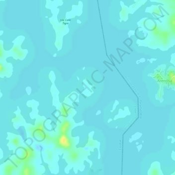
Name: Isla Cristóbal topographic map, elevation, terrain.
Location: Isla Cristóbal, Escobal, Distrito Colón, Colón, Panamá (9.03942 -79.96241 9.04221 -79.96035)
Average elevation: 29 m
Minimum elevation: 25 m
Maximum elevation: 49 m
Thank you for supporting this site ❤️
Make a donation
Make a donation