
Thank you for supporting this site ❤️
Make a donation
Make a donation
Arvenbüel topographic map
Click on the map to display elevation.
Thank you for supporting this site ❤️
Make a donation
Make a donation
About this map
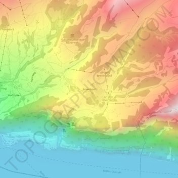
Name: Arvenbüel topographic map, elevation, terrain.
Location: Arvenbüel, Amden, Wahlkreis See-Gaster, Sankt Gallen, 8873, 瑞士 (47.12744 9.15318 47.16744 9.19318)
Average elevation: 1,076 m
Minimum elevation: 418 m
Maximum elevation: 1,887 m
Thank you for supporting this site ❤️
Make a donation
Make a donation