
Dohrighat topographic map
Interactive map
Click on the map to display elevation.
About this map
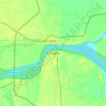
Name: Dohrighat topographic map, elevation, terrain.
Location: Dohrighat, Ghosi, Mau District, Uttar Pradesh, 275303, India (26.23373 83.46980 26.31373 83.54980)
Average elevation: 72 m
Minimum elevation: 62 m
Maximum elevation: 79 m