
Gierle topographic map
Interactive map
Click on the map to display elevation.
About this map
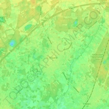
Name: Gierle topographic map, elevation, terrain.
Location: Gierle, Lille, Turnhout, Antwerpen, Vlaanderen, België (51.23941 4.83230 51.29899 4.90729)
Average elevation: 17 m
Minimum elevation: 6 m
Maximum elevation: 24 m
Gierle ligt in de Kempen op een hoogte van 15-20 meter. Gierle ligt in de vallei van de Aa. Het Grotenhoutbos (ook wel het Giels bos genoemd) ligt gedeeltelijk in Gierle.
Other topographic maps
Click on a map to view its topography, its elevation and its terrain.