
Guna topographic map
Click on the map to display elevation.
Guna
Guna is located at 24°39′N 77°19′E / 24.65°N 77.32°E / 24.65; 77.32. It has an average elevation of 474 metres (1555 ft).
About this map
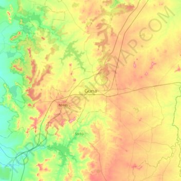
Name: Guna topographic map, elevation, terrain.
Average elevation: 474 m
Minimum elevation: 398 m
Maximum elevation: 571 m