
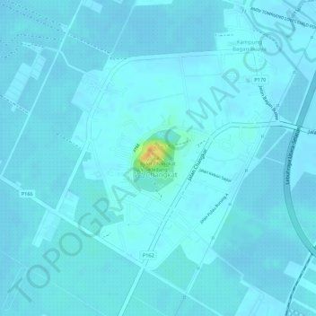
Bukit Changkat Kledang topographic map
Interactive map
Click on the map to display elevation.
About this map
Name: Bukit Changkat Kledang topographic map, elevation, terrain.
Average elevation: 6 m
Minimum elevation: 2 m
Maximum elevation: 38 m
Other topographic maps
Click on a map to view its topography, its elevation and its terrain.
Kampung Bagan Buaya
Kampung Bagan Buaya, Changkat, South Seberang Perai District, Seberang Perai, Penang, 14200, Malaysia
Average elevation: 5 m