
Glenbrook Countryside topographic map
Interactive map
Click on the map to display elevation.
About this map
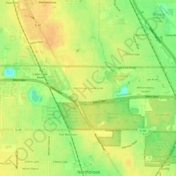
Name: Glenbrook Countryside topographic map, elevation, terrain.
Location: Glenbrook Countryside, Cook County, Illinois, 60062, USA (42.12778 -87.84667 42.16778 -87.80667)
Average elevation: 202 m
Minimum elevation: 180 m
Maximum elevation: 216 m