
Camotepec topographic map
Interactive map
Click on the map to display elevation.
About this map
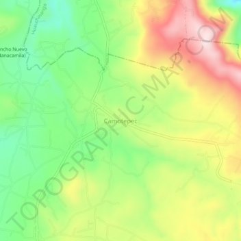
Name: Camotepec topographic map, elevation, terrain.
Location: Camotepec, Zacatlán, Puebla, México (20.02667 -98.08667 20.06667 -98.04667)
Average elevation: 2,477 m
Minimum elevation: 2,302 m
Maximum elevation: 2,693 m